MAK Earth presents: the Guam Terrain
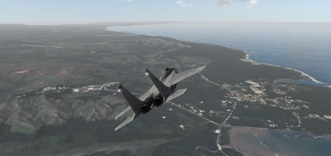
MAK Earth now includes increased resolution for the Island of Guam and the surrounding waters (bathymetry) and islands. So if you're simulating operations in the Western Pacific Rim and need to stage assets on US territory, Guam ("Where America's Day Begins") could be an ideal location for your scenarios. Take a look at this virtual tour video of Guam.
All of our MAK ONE products — VR-Engage, VR-Forces, and VR-Vantage — contain the MAK Earth terrain engine. This powerful engine procedurally generates the portion of the MAK Earth model that is needed at run-time by the simulation or visualization application. Distributed applications will each deterministically generate only the portions of the MAK Earth model they need to achieve a correlated "fair-fight" simulation.
Here's how it works. The terrain data for Guam (and everywhere else on the planet) is added to data layers on VR-TheWorld Server that are used by the MAK Earth terrain engine to generate the 3D model of the world for simulation and visualization. In this process, the elevation data, which defines the heights of the land and the depths of the seafloor, is tessellated to form the "terrain skin". Raster imagery layers are draped over the terrain skin to define what the terrain looks like. Vector features (points, lines, and polygons) define objects that are procedurally generated and integrated into the terrain. And land-cover data provides parameters that influence the procedural algorithms that generate features and vegetation, and that augment procedurally generated imagery.
The Guam data added to VR-TheWorld Server includes:
Elevation
- 3m elevation on the island with 10m bathymetry in the surrounding seafloor
Imagery
- 0.5m and 0.3m (central island) imagery
Features
- OpenStreetMap buildings
- Updated airport data for Guam International (PGUM) & Andersen AFB (PGUA)
- geo-specific buildings (glTF)
Land Cover
- 2.5m land cover for procedural vegetation & imagery
Effects Textures
- Water specular – to make the inland water reflect the sky
- Rain/snow Fx – to control how rain and snow accumulate on the terrain
We've uploaded this additional detail to VR-TheWorld Server online so it is immediately available to current MAK ONE applications (VR-Forces 4.9, VR-Vantage 2.7, and VR-Engage 1.6) that are connected to the internet. The data is also included in the VR-TheWorld Server data package so users can take it into the secure labs.
If you have questions or want to learn more about MAK Earth, connect with us at